
 By Miryam Salloum Biodiversity Research and Data Manager
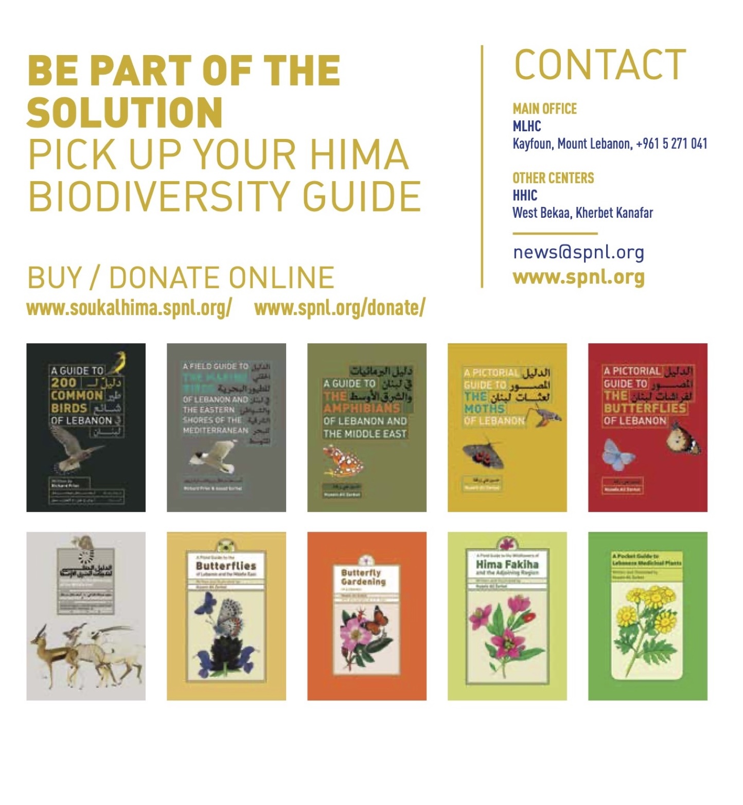
The full SPNL 2024 Annual Report is available for download at this link.
Amid Lebanon’s breathtaking landscapes, a pioneering initiative is bridging the gap between conservation efforts and ecological awareness. Miryam Salloum, Biodiversity Research & Data Manager at the Society for the Protection of Nature in Lebanon (SPNL), has unveiled a groundbreaking map that illustrates how the Hima approach fosters connectivity between Lebanon’s nature reserves, biosphere reserves, and Important Bird Areas (IBAs).
This map is more than just a scientific tool—it is a visual narrative capturing Lebanon’s rich biodiversity and the interconnected natural systems that sustain it.
The Hima model: Linking people, nature, and conservation

Rooted in a centuries-old community-based conservation tradition, the Hima model is at the core of SPNL’s mission. By empowering local communities to manage their natural resources sustainably, the approach harmonizes conservation efforts with local livelihoods.
Salloum’s map highlights how Hima sites function as vital ecological corridors, linking protected areas and supporting wildlife movement.
At the heart of the map, key Lebanese flora and fauna species are beautifully illustrated, emphasizing their ecological significance:
🦜 Birds: The Northern Wheatear and the striking Syrian Woodpecker symbolize Lebanon’s rich avian diversity.
🐺 Mammals: The elusive striped hyena, resilient Eurasian badger, majestic grey wolf, and the critically endangered Mediterranean monk seal serve as reminders of the country’s unique and fragile ecological balance.
🌿 Flora: Native species such as the Sofar iris and the Lebanon cedar reflect Lebanon’s botanical heritage and resilience.
Scientific precision: A map backed by global conservation data
The map is built upon a robust foundation of geospatial data, ensuring accuracy and credibility. Its design integrates data from globally recognized sources, including:
📍 ESRI GIS technology – A leading geographic information system (GIS) provider, ensuring precise geospatial visualization.
📍 Protected Planet: The World Database on Protected Areas (WDPA) – Managed by UNEP-WCMC and IUCN, offering authoritative conservation data.
The latest update from November 2024 provides comprehensive information on protected areas worldwide, allowing Salloum’s map to place Lebanon’s nature reserves, biosphere reserves, and IBAs within the broader global conservation context.
“This map is a testament to the connectivity that nature needs to thrive,” says Miryam Salloum.
“It’s not just about individual protected areas but the pathways that link them, allowing species to move, migrate, and flourish. Lebanon’s Hima sites are the threads that weave this fabric together.”
A call to action: Conservation in the face of environmental challenges
Lebanon’s biodiversity faces mounting threats, including habitat fragmentation, urbanization, and climate change. Salloum’s map, however, is a beacon of hope, demonstrating how the Hima model offers a scalable and community-driven solution.
Beyond its scientific and educational value, the map is also a call to action for:
🌍 Policymakers – To prioritize biodiversity protection and sustainable land use.
📊 Conservationists – To enhance data-driven decision-making.
🏡 Local communities – To recognize their role in safeguarding Lebanon’s ecosystems.
By visually connecting Lebanon’s diverse habitats, the map inspires a sense of pride and responsibility among viewers.
Bridging art and science: A visually compelling conservation tool
Miryam Salloum’s map is a fusion of scientific accuracy and artistic storytelling. Each symbol, color, and line is carefully chosen to resonate with diverse audiences, from researchers and educators to nature enthusiasts.
SPNL plans to integrate the map into schools, environmental campaigns, and stakeholder meetings, promoting the Hima approach and fostering collaborative conservation efforts.
“We want people to see this map and feel connected to the land, to understand that they are part of this intricate web of life,” Salloum adds.
In a world where nature often feels distant, this map serves as a powerful reminder that connectivity is key—not just for ecosystems but for the human spirit. By linking Lebanon’s natural heritage, it offers a vision of hope, resilience, and unity for future generations.


