


By Bilal Alaouiyeh, Remote Sensing and GIS Expert, Specialist in Spatial Environmental Governance and Biodiversity Mapping
From Mountain Peaks to the Mediterranean: Why the Beirut River Valley Deserves UNESCO Biosphere Reserve Status
Connecting Lebanon’s mountain summits to the Mediterranean coast, the Beirut River Valley has been proposed by the Society for the Protection of Nature in Lebanon (SPNL), in collaboration with UNESCO, as a Biosphere Reserve. The proposal seeks to safeguard an exceptional ecosystem while strengthening local economies and community well-being, demonstrating that conservation is achieved not through exclusion, but through the integration of nature and people.
Stretching from the high peaks of Mount Lebanon to the Mediterranean Sea, the Beirut River Valley forms one of the most ecologically integrated watersheds in central Lebanon. Covering approximately 219 square kilometres, it links mountain forests, agricultural terraces, rural villages, and coastal urban areas. Its significance lies not only in its geographical position but also in its unique ability to connect ecosystems and communities within a single, continuous ecological landscape.
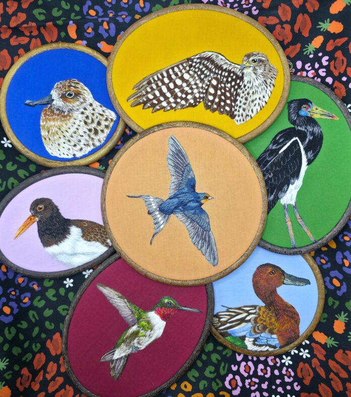
The valley lies along the Eastern Bird Migration Flyway, one of the world’s most important migratory routes connecting Asia, Europe, and Africa. Every year, more than 50,000 migratory birds representing around 280 species pass through the valley, relying on its forests, agricultural landscapes, wetlands, and open natural habitats for resting and feeding.
This global ecological connectivity makes the valley highly compatible with UNESCO’s Man and the Biosphere (MAB) Programme, which promotes integrated models of conservation, sustainable development, and scientific research.
A Community-Centred Vision for a Biosphere Reserve
The proposed Beirut River Valley Biosphere Reserve, developed by the Society for the Protection of Nature in Lebanon (SPNL), encompasses 67 towns and villages across the river basin. Its proposed zoning follows the UNESCO MAB approach, which is based on coexistence between nature and people:
- Core Areas (22.6%): Highly sensitive ecosystems with minimal human activity.
- Buffer Zones (26.7%): Natural, rural, and agricultural landscapes that support traditional and sustainable land use.
- Transition Areas (50.7%): The main population centres and productive landscapes where communities live and work.
This structure safeguards ecological integrity while allowing economic activities and community life to flourish, demonstrating that effective conservation depends on integration rather than exclusion.
Geological and Hydrological Complexity
Geologically, the valley is composed of limestone, dolomite, basalt, and sandstone formations dating from the Cretaceous to the Quaternary periods. The upper limestone formations function as natural groundwater reservoirs, while basaltic formations enhance groundwater recharge and sustain numerous springs.
Hydrologically, the watershed operates as a continuous system extending from the mountains to the coast. Permanent springs, tributaries, and seasonal runoff flow westward toward the Mediterranean Sea. The interaction between rainfall, groundwater recharge, and surface water supports irrigation, domestic water supplies, wetlands, riparian vegetation, and ecological corridors.
As such, the Beirut River Valley represents a fully integrated Mediterranean watershed linking mountain ecosystems with coastal environments.
A Continuous Ecological Gradient
Forests and tree-dominated landscapes cover more than 60 percent of the valley, particularly on the upper slopes above 1,500 metres. At lower elevations, these forests gradually transition into agricultural terraces before giving way to the expanding urban landscape surrounding Greater Beirut.
This uninterrupted ecological gradient—from mountain wilderness to coastal city—is exceptionally rare in the Mediterranean region. It provides a living laboratory for studying land-use change, climate adaptation, and ecosystem connectivity within a rapidly urbanising environment.
Biodiversity and Ecosystem Services
Beyond its importance for migratory birds, the valley supports diverse plant communities and a wide range of wildlife species, reinforcing its role as one of Lebanon’s most significant biodiversity landscapes.
Among the key ecosystem services it provides are:
- Water regulation and natural purification;
- Soil stabilization and erosion control;
- Carbon sequestration through extensive forest cover;
- Agricultural productivity and food security;
- Cultural identity and opportunities for ecotourism.
Local communities depend on these services economically, socially, and culturally, highlighting the importance of a conservation model founded on participation, shared governance, and sustainable resource management.
A National Model for Integrated Environmental Governance
The designation of the Beirut River Valley as a UNESCO Biosphere Reserve would establish Lebanon’s first integrated environmental governance model spanning the entire landscape from mountain peaks to the coast. It would serve as a national reference site for:
- Adaptive watershed management;
- Biodiversity monitoring;
- Climate change adaptation planning;
- Environmental education and scientific research.
At a time when Mediterranean ecosystems face increasing pressures from urban expansion, climate change, and natural resource degradation, the Beirut River Valley offers a practical framework for balancing environmental protection with sustainable development. It is far more than a river corridor—it is a landscape of convergence where migratory birds, forest ecosystems, agricultural livelihoods, and urban communities coexist within a single regional system.
Recognising the Beirut River Valley as a UNESCO Biosphere Reserve would not only protect biodiversity but also embody a broader vision: that environmental conservation and sustainable development are not competing objectives, but complementary pathways toward resilience and sustainability.
In an era of accelerating environmental challenges, the Beirut River Valley stands as a compelling example of how science, community participation, and strategic planning can work together to build a sustainable future stretching from the mountains to the sea.
Bilal Alaouiyeh is a Remote Sensing and Geographic Information Systems (GIS) expert specializing in spatial environmental governance, landscape planning, and biodiversity mapping.